A formidable El Niño weather system is expected to significantly impact rainfall across New Zealand this winter. The event may influence weather patterns from winter onwards, with a greater than 60% probability that it will be classified as ‘strong’ by spring.
The El Niño event could bring increased rainfall to Southland, parts of Otago, and western facing areas of the South Island. However, reduced rainfall is anticipated for much of the remainder of New Zealand, particularly in the east of both islands and the upper North Island.
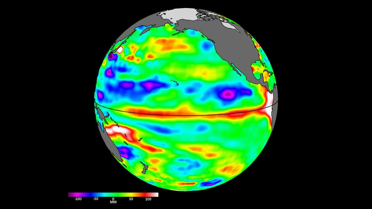
Dryness may become an issue in areas experiencing a reduction in normal winter rainfall. Occasional cold snaps could also occur, lasting a few days at a time. Jon Tunster from Earth Sciences New Zealand noted, “La Niña has only just ended, but there are indications that we’ll see a rapid flip to El Niño.”
Models are forecasting a strong atmospheric response as warm sub-surface waters reach the surface. This response may strengthen high-pressure systems over the Australian continent during winter.
Dramatic impacts on globally important large-scale weather systems, including the Indian monsoon and the North Pacific storm track, are likely due to this event. Associate Professor Daniel Kingston stated, “Given the projected strength of this event, it will be very surprising if New Zealand doesn’t feel some impacts.”
Earth Sciences New Zealand has been monitoring signs of a developing El Niño for the past six months. The event is expected to develop by the end of the year.