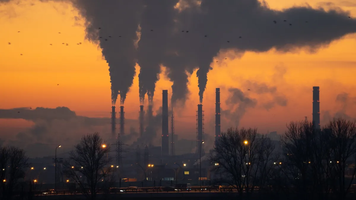
A formidable El Niño event, one of the strongest in the past 50 years, is expected to significantly alter New Zealand’s weather this winter. Earth Sciences New Zealand meteorologists anticipate a significant El Niño influence on weather patterns across the country.
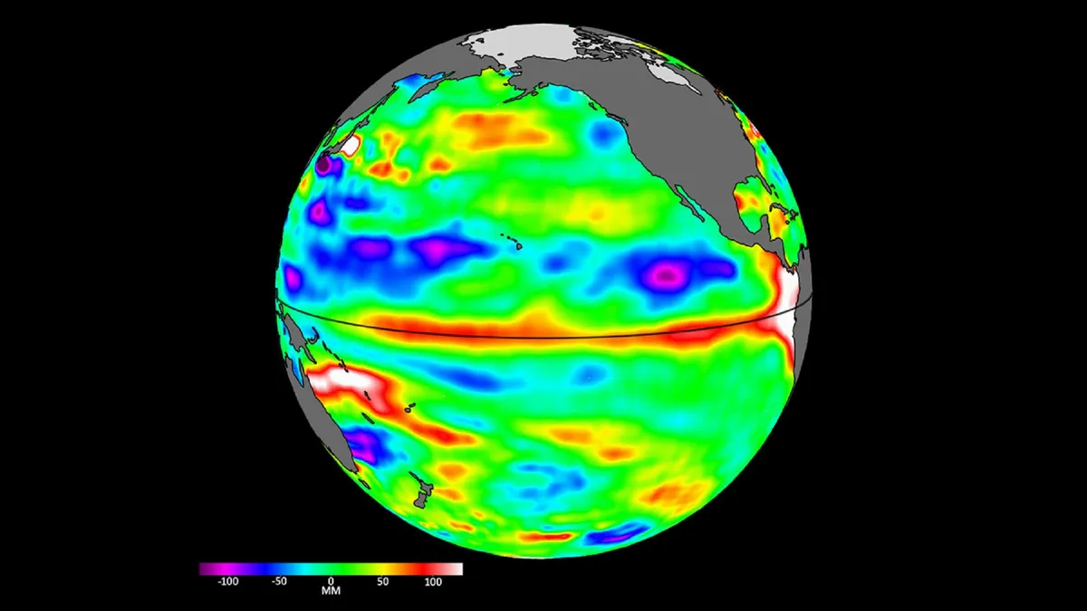
El Niño and La Niña are the two phases of the El Niño–Southern Oscillation (ENSO), a natural climate cycle driven by ocean temperatures and atmospheric pressure across the tropical Pacific. Warm sub-surface waters in the tropical Pacific Ocean are a precursor to significant El Niño events.
There is a greater than 60% probability that the El Niño event will be classified as ‘strong’ by spring. A strong El Niño event is expected to develop this winter, potentially leading to dry conditions in the north and east, and wetter conditions in the west.
Key impacts anticipated:
- Increased rainfall in the south and west due to south-westerly winds.
- Drier conditions expected in northern and eastern regions.
- Dramatic impacts on globally important large-scale weather systems, including the Indian monsoon and North Pacific storm track.
Jon Tunster from Earth Sciences New Zealand stated, “La Niña has only just ended, but there are indications that we’ll see a rapid flip to El Niño.” He added, “Given the projected strength of this event, it will be very surprising if New Zealand doesn’t feel some impacts.” Daniel Kingston echoed these sentiments, saying, “If the event does unfold as predicted, the impacts may be substantial.”
The Relative Oceanic Niño Index (RONI) is showing a rapid rise consistent with the onset of El Niño. Officials have not confirmed the exact strength of this event; however, they expect clearer indications in the coming months.