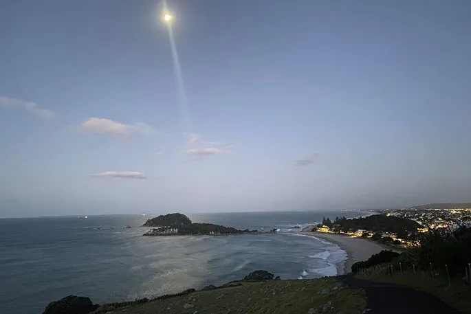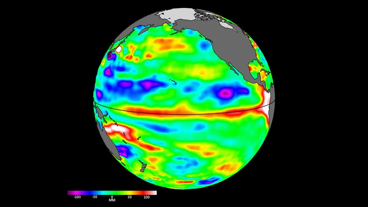
A significant El Niño event is expected to bring both increased rainfall to some regions and reduced rainfall to others across New Zealand this winter. The tropical Pacific Ocean has shown signs of this weather pattern developing over recent months.
Earth Sciences New Zealand has monitored the situation for six months. They noted that La Niña conditions have just ended, with indications pointing towards a rapid shift to El Niño. There is a 60 percent probability that this event will be classified as “strong” by spring.
The forecast predicts increased rainfall for areas such as Southland and parts of Otago, along with western-facing regions of the South Island. However, much of the remainder of the country, especially the eastern parts and the upper North Island, can expect reduced rainfall.
Key impacts:
- Increased rainfall likely in Southland, Otago, and western South Island.
- Reduced rainfall expected for eastern areas and upper North Island.
- Dryness may become an issue as spring approaches for regions with less winter rain.
It is unlikely that New Zealand will experience a colder winter due to El Niño. Yet, occasional cold snaps may occur, particularly in inland areas of the South Island where cold air can linger longer. Jon Tunster from Earth Sciences New Zealand stated, “Given the projected strength of this event, it will be very surprising if New Zealand doesn’t feel some impacts.”
This El Niño may also strengthen high-pressure systems over Australia during winter. Dramatic impacts on global weather systems are also likely due to this phenomenon. Officials have not confirmed the exact extent of El Niño’s influence on local weather patterns yet.